16 Minute Read

16 Minute Read
I think it was 2008 when I first discovered Google Maps, along with my coworker with whom I shared an office with. He had done far more traveling than I had (well, he still has) and we both found it fascinating looking through the roads, labels, mountains, and in particular, street view of various places all over the world.
I’ve always liked exploring and for whatever reason, I’ve always had a natural “knack” for understanding maps and directions. I guess it is my engineering mindset that I take to a lot of things. I even remember in Boy Scouts being quite good at using a compass and pacing out distances to determine how tall and how far away things were.
When I fell hard for cycling back in 2013, planning where I should ride seemed daunting at first, given that I was potentially on roads that I didn’t know, especially while on the back of a new bike. This uncertainty is especially nerve-wracking for new cyclists, as you naturally worry that you’ll suddenly find yourself on a freeway or some other crazy and/or large road. The whole experience can even get into your head and keep you from continuing your journey on two wheels.
Luckily for me, I’ve found a few key tools that have helped me throughout the years, to the point now where I’ve been able to successfully navigate myself through unknown (to me) territory both domestically and even abroad.
Please note that all of this is just how I tend to operate, and I do indeed spend a lot of time doing this. I enjoy it though!
This one takes time, but we all do it, whether we recognize it or not. Next time you’re at a bike shop, keep an ear out for conversations you may overhear. You’ll often hear employees talking about doing a ride that day, or talking with a customer about a ride they recently did. Some of it may not even be anywhere near where you are that particular day! I know I will often find myself chatting away with an associate and sharing stories about “my ride camp in Girona” or last week’s Rapha ride.
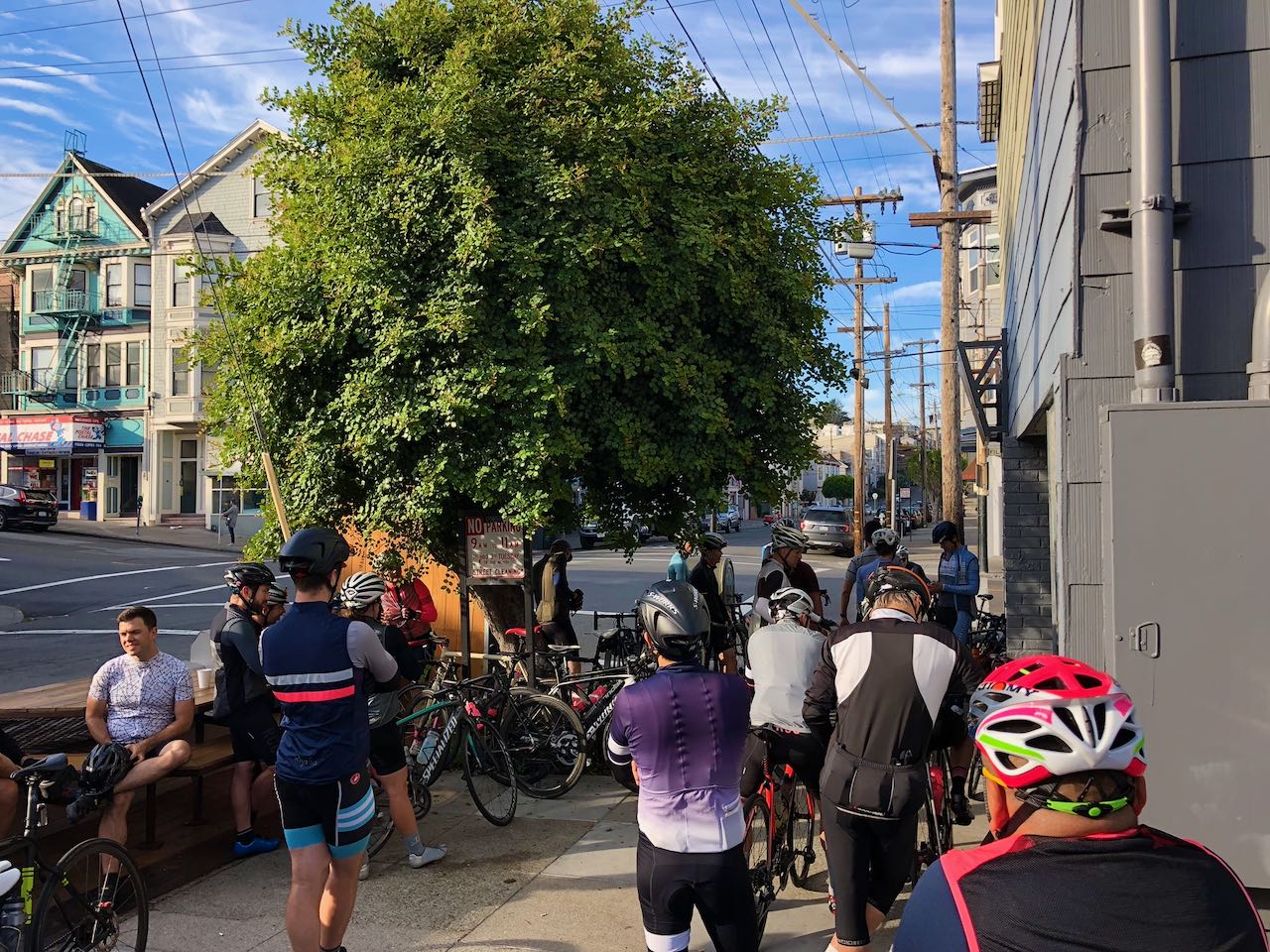
To be honest, it’s fun. And it’s publicly available information while you’re hanging out there waiting for your bike or while you’re shopping. Take notes of things for later so that you can look things up in more detail, whether it be travel companies, local groups or clubs, or routes and roads that are popular with riders in your area.
I personally find it easy to look things up on my phone, even while talking to someone about a new place to visit. Once I find it, I usually like to save it on my Google Maps account so that I have it for later. Regardless of how you feel about Google tracking your data, doing this not only saves the location details for you, but also marks it as an icon on the map interface itself. As long as you don’t overdo this (you can categorize items into groups and selectively show only what you want), you should be able to retrieve these easily later.
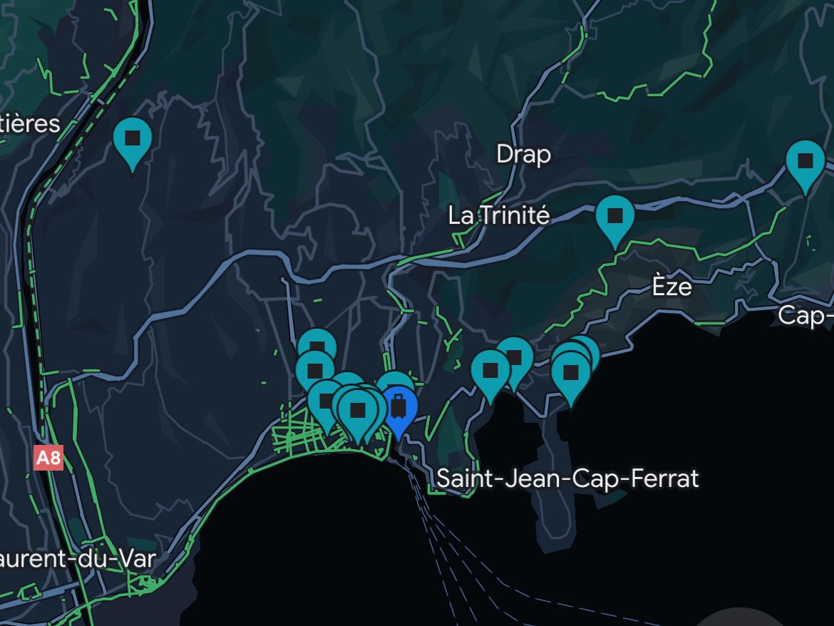
I can’t tell you how many times I’ve found myself in a new area and found a previously pinned or marked location with an associated note as to why. It has worked out very well for me so far, and not just for cycling routes! I find this super helpful when I’m preparing for a trip abroad and watching YouTube for ideas. It’s often far easier to find things in an area you’re already planning to visit, rather than specifically going out of your way to visit that particular bar or restaurant.
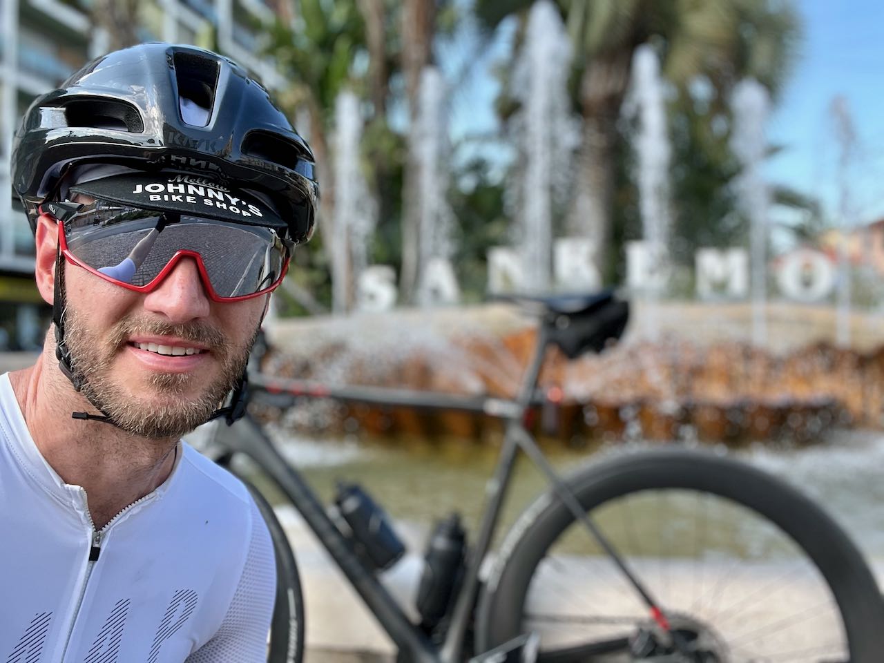
Recently, I was on a trip with my bike in Nice, France. I previously had seen something on Instagram from someone I follow regarding two iconic climbs that were nearby, just over the border in Italy. So I built out a ride to include them! Turns out they are both steeped in tradition, and make up the last part of the famous Milano-Sanremo race, the longest single day race of the main pro tour calendar. Honestly, I had never followed the race previously, so I didn’t know about both the Cipressa and Poggio climbs.
Simply because I kept note of this random post on Instagram, I made it work, employing the strategies mentioned below. And it was an awesome experience.
Once you start to narrow in generally on an area you plan to ride, you can start targeting for more specific details. This can be a whole rabbit hole of information itself, and can often warrant you drastically different results depending on how good your Google-Fu is.
I’ve found all kinds of resources out there for these things, and a lot of them tend to be pretty hyper focused on one or two things. Often, I’ll find myself asking obscure questions about areas and climbs that I simply am curious about based on randomly looking around on a map. Having a blog post or some kind of comment on a thread somewhere can be incredibly helpful in giving you just enough information so you’re confident when going out there.
If you’re looking through a bunch of comments in a comment thread somewhere (think Reddit, for example), keep a skeptical eye. There’s really no recourse for bad behavior or information online, so it’s definitely an acquired skill to know how to read between the lines. In the era of misinformation, this is something that we all unfortunately need to get very good at doing for ourselves.
Oh and final thought here - when checking out new locations and routes based on potentially circumspect information, always have some options for alternative routes. Out in the real world, there are road closures, hazards, weather, etc etc, so always remain flexible and stay alert whenever you’re out there scouting somewhere new.
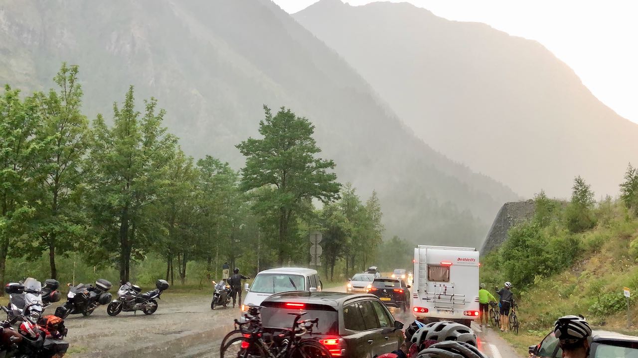
The above was way outside of my control, and I wasn’t the one planning the routes that week, but we could have never anticipated a literal avalanche that blocked us from getting back to our chalet in Bourg-d’Oisans. That was quite a day.
This is perhaps the bulk of where I do my ride planning. Using the interactive nature of Google Maps can be an absolute boon when it comes to discovering somewhere new, either near or far. I can’t tell you how many times I’ve seen something strange on Google Maps, decided to go check it out, and it becomes part of a regular routine. It’s fantastic.
Google Maps has a “layer”, similar to the topographical or satellite ones, dedicated to showing bike paths or routes. A solid line usually represents a dedicated path (I think it’s actually a slightly dark color too, but I have a thing for colors sometimes), while a dotted line can often represent either sharrows, dirt, a bike lane, or something else that basically just isn’t a bike path.
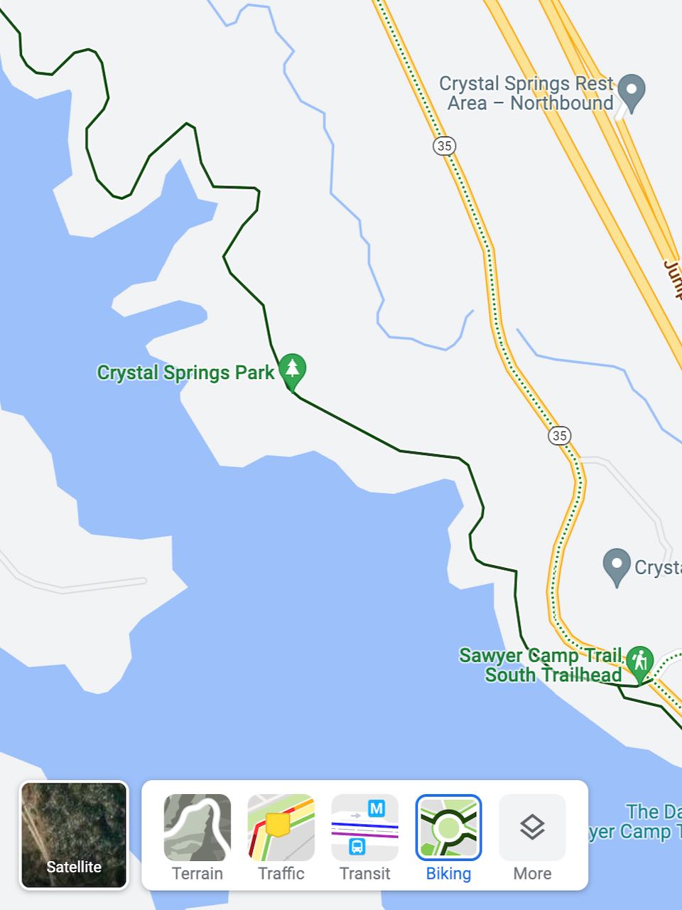
Note that Google changes their products all the time, so while this feature has been here for a long time (years), it’s been “in beta” the entire time. So don’t go following it and get yourself into trouble somehow and then blame Google for it. Perhaps one day it’ll go away, but I’m sure their metrics are showing plenty of people using it, so I imagine it’s here to stay.
Just like how you can get directions and visually build a route for driving somewhere, you can do the exact same thing for biking. Just select the little biker icon at the top of their directions page instead of the car or the bus.
You can then chain locations together as additional waypoints to build up a more full and complete route rather than from only one point to another. Google then does a reasonably good job of showing you the total distance and elevation change for your entire journey, too, which is also quite important in understanding just what kind of terrain to expect.
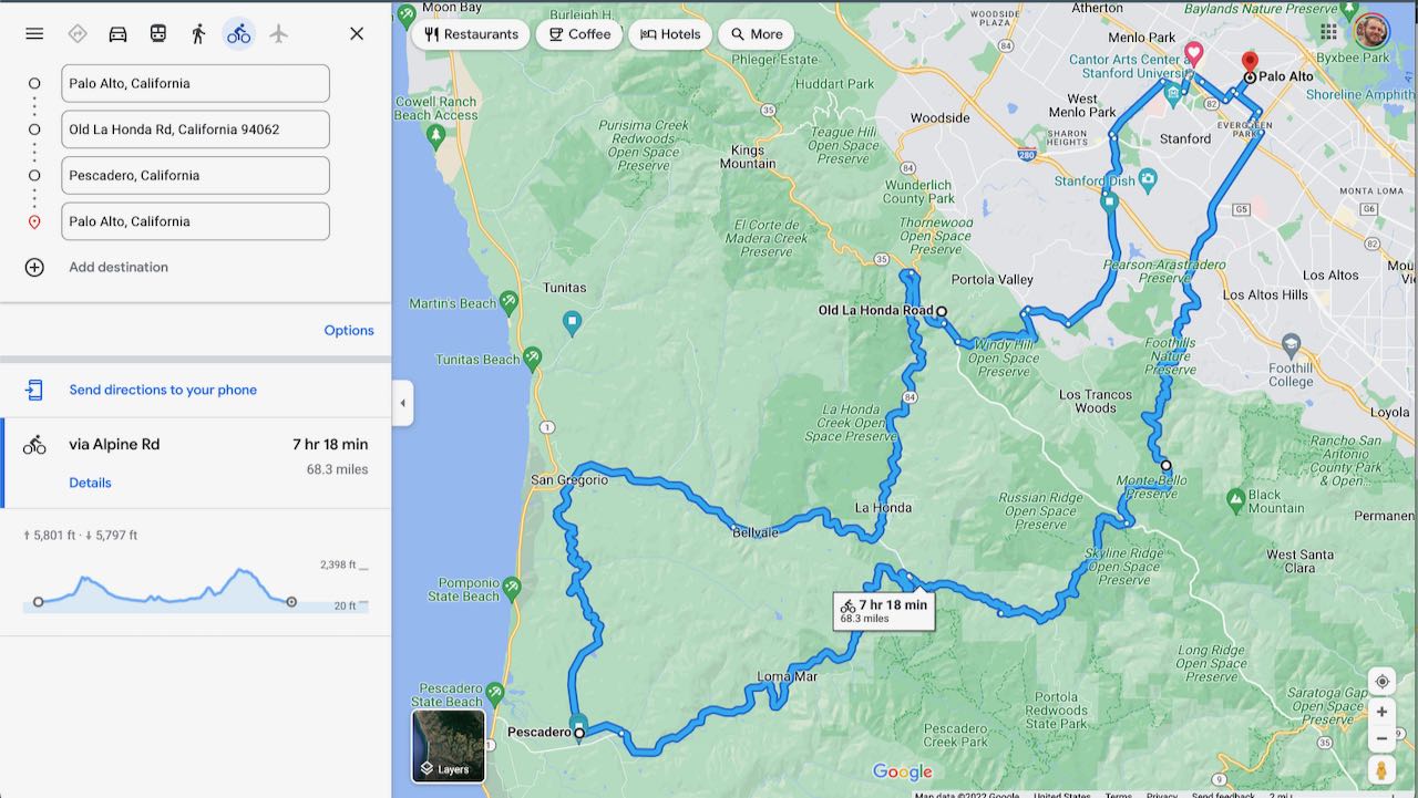
Also note that you can select anywhere along the route and drag the route elsewhere to change the way that particular section of the route goes. You’ll definitely use this feature often when scoping out a route on Google Maps.
Unfortunately, none of this is easily saved to anywhere else, beyond a link that you can often share with friends as a Google Maps link. This means that while you will have “directions” and a “route”, you can’t exactly import it to something like Strava, RideWithGPS, Wahoo, Garmin, or whatever else you use for navigation.
Use Google Maps for general idea gathering, narrowing in on specific areas and details as you need to. Then separately use another cycling-specific tool to actually build the route that you will then sync over to your navigational device.
If instead you’re looking at just a particular section of area that you’re already familiar with, poking around through the map can give you a good mental map of what you may want to add to your next ride. I find myself doing this quite a bit, actually, without building any specific route. I will often know the route well enough on my own, and will use this info to scope out a new area to switch things up.
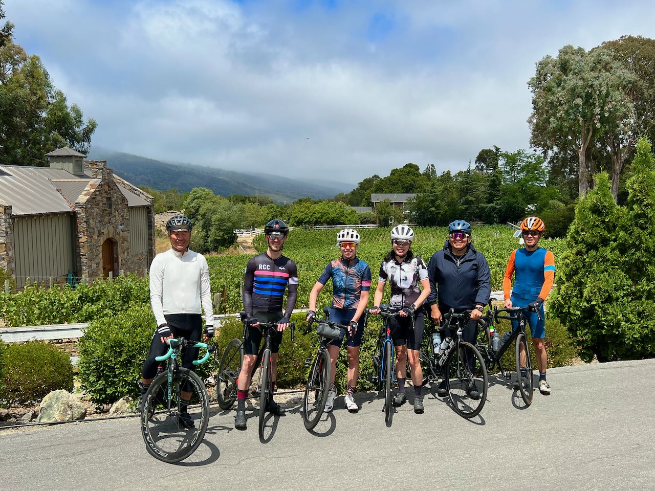
Most recently, I did this and found a fun winery just above Cañada road. It’s beautiful up there!
So while Google Maps will let you create routes on your mobile, it doesn’t really show you many specific details for the distance and elevation. It tends to just show you how to get there, even if you select the “bike” option, often with only a few options that you can’t really modify. The more stops you add, the more difficult it seems to be to get those options to the way you want them.
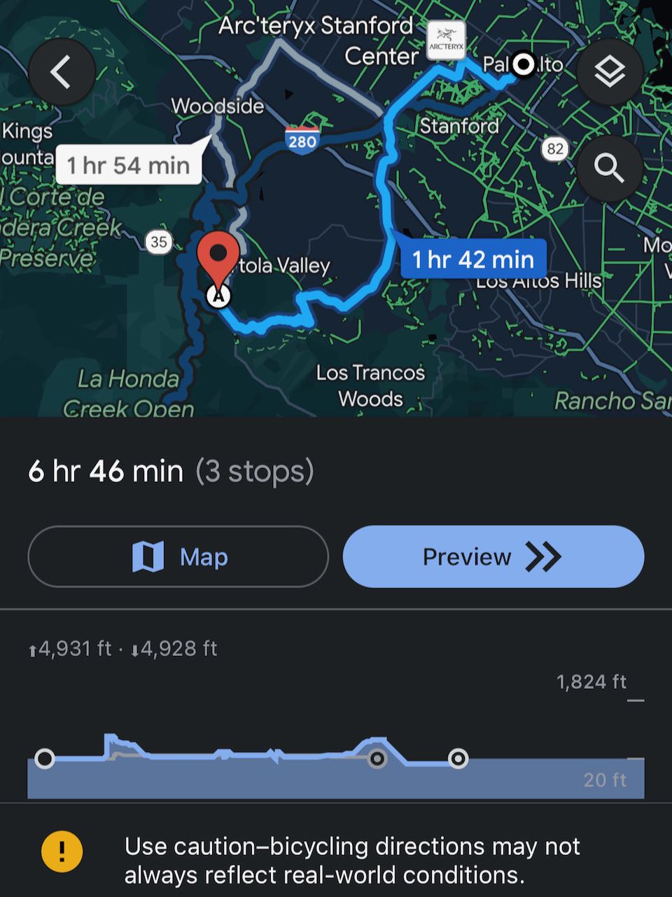
I imagine this may change over time, but as of August of 2022, it’s a bit tricky. If i’m out and about, I’ll often have to do a single point to another point to get details, then flip the points, update to another leg / point, then add that new value to what I had previously. It’s a bit of work to do it on the fly, but it’s possible.
This is one of my favorite features of Google Maps, actually. Seeing the road conditions from a camera picture previously taken is an amazing way to get an idea for an area before visiting. You can see generally what kinds of conditions the road is in, if there are bike lanes, what kind of traffic is typically on the road, how shaded things are, and so much more. Since the photos are taken from cars usually with 360 degree cameras, you can use your mouse to circle around to get a really good idea of what things really look like. It’s actually a feature that’s available now both on desktop and on mobile.
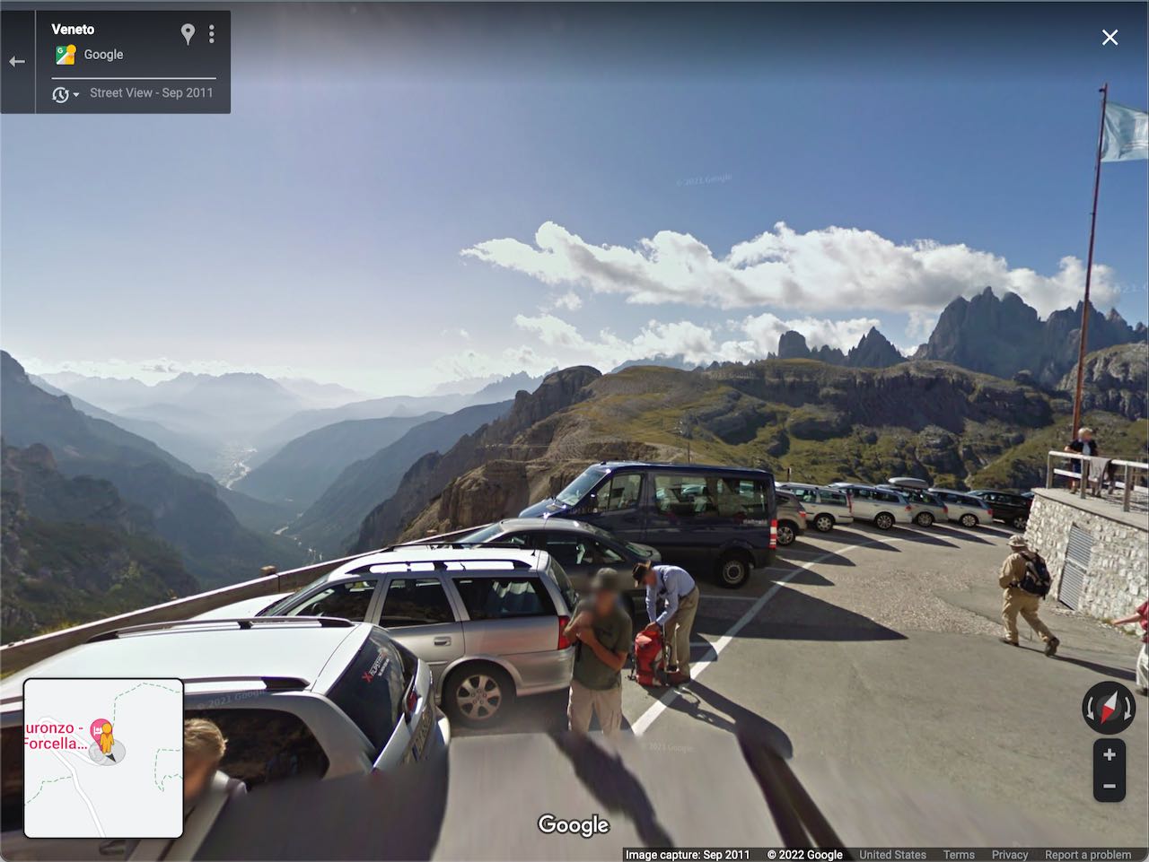
In some areas, you can actually show multiple views of the same area, as sometimes there are more than one option to choose from. This is because their camera cars will often go back over the same areas a few years later to update their street view. Cycling aside, it’s an interesting way to see how an area has changed over time.
In some areas, street view just stops. This could be random, or it could be for a good reason. In some cases, I’ve found that suddenly the road that appears to go through on the map itself is actually a private road. Maybe there’s even a sign on the street view image that you can see this. So if you choose to continue onward, be sure to have a backup plan or two depending on what you see out there.
I actually last noticed this when exploring the hills above Monaco on Google Maps, as I wanted to follow along this road that headed up past the Monte Carlo Golf Club towards one of the higher points along the coast line, called Mont Agel. Turns out that road actually heads up to a military installation owned by the Principality of Monaco! Google’s street view actually shows the sign that I later saw in person telling me not to proceed under “pain of prosecution”, as the English translation stated. Fun!
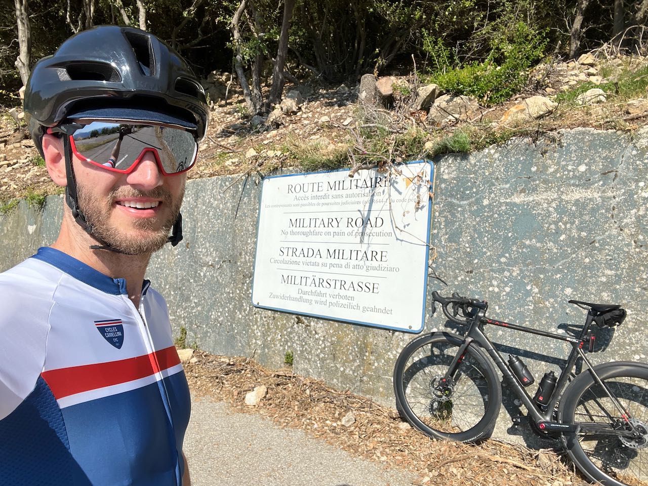
This is likely very location specific, as the Bay Area is definitely quite mapped out, while other, more rural areas definitely are not. Whatever you do, I’d suggest corroborating what you’re seeing with at least another source, along with some judgement.
Strava is a lot more than simply a social place to post your rides and give kudos to your friends. Turns out that a lot of the data that Strava gets is actually used in infrastructure planning and for determine ridership tendencies and patterns. This can actually lead to decisions being made for future car and bike projects.
You can also use it for planning rides!
This may seem obvious, but again, how often do we see someone post a cool ride, marvel in its route and maybe their pictures, give them kudos, and then forget where it went? I know I do. Similar to saving off locations mentioned earlier, I will sometimes save links to friend’s rides to reference them later. Strava will then let you star that route (or at least copy it to your routes which you can then star) so that you can sync it over to your device of choice for use when you need it.
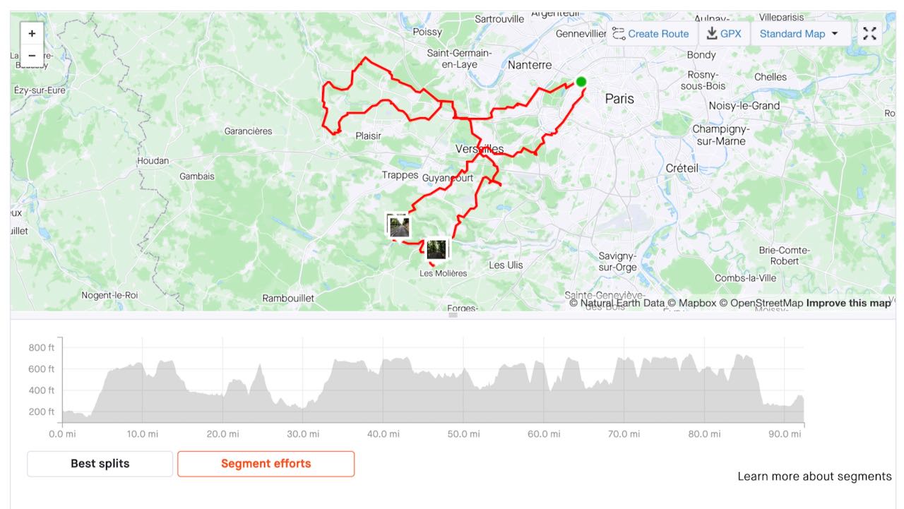
Alternatively, I’ve found myself doing a bit more of a back door approach here, which does involve a few extra steps. Sometimes I will:
It’s a bit more roundabout, and depending on who you’re following and how many people you follow, you may find that no one you know has done this particular segment. No worries even then, as you can still locate someone else who has done it in that same page (usually now just the top 10, depending on what privacy settings that user has set), which means you should also be able to see what kind of route they did that particular day.
If you’re lucky, this person may have provided ride details or even some pictures that you can use to help you recon a larger route that includes this particular climb or segment. On my most recent travels, I was making specific efforts to do this, not only to remind myself later of the day, but also to potentially help others in their own trip planning.
Again, some of this really depends on privacy settings (which is serious business of course), so please keep that in mind here generally. This also means that any of the above process may change in the future as Strava can change and evolve as companies do.
Going back to the overall ride data that Strava collects generally, they also have a really nice global heatmap. You need to be a subscriber to get really granular details here, but this is a fantastic visual aid to understand where cyclists tend to ride more often than where they don’t.
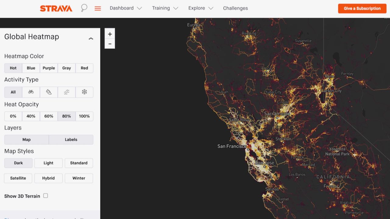
Basically what is brighter or “hotter” represents more people and more rides through that particular section or region than others that are less bright. When you zoom in and out, these change a bit, as I believe there is some relativistic metering here depending on what data Strava has and how much of it you are currently viewing at any particular time.
In my recent example of riding above the hills of Monaco, I was corroborating that sudden “stop” on Google street view here when I realized that the locations in both systems represented the same situation. That is, riders shouldn’t or at least don’t go that way.
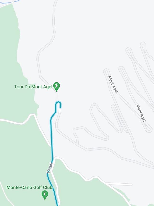
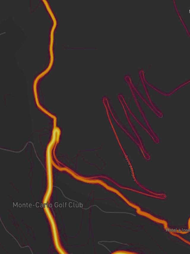
Funny enough, there does appear to be some cycling data for this road beyond the gate, but perhaps that was someone who shouldn’t have been there or maybe a government employee who decided to ride their bike to work that day. Who knows!
Again, use your best judgement here, too. The more “systems” you can correlate your ride with here, the better!
Overall, I really like RideWithGPS, but mostly for their route planning, as I can directly sync these routes over to my Karoo. You can actually use Google Maps natively within their route builder, so I tend to visit this site last to build out the final version of my route.
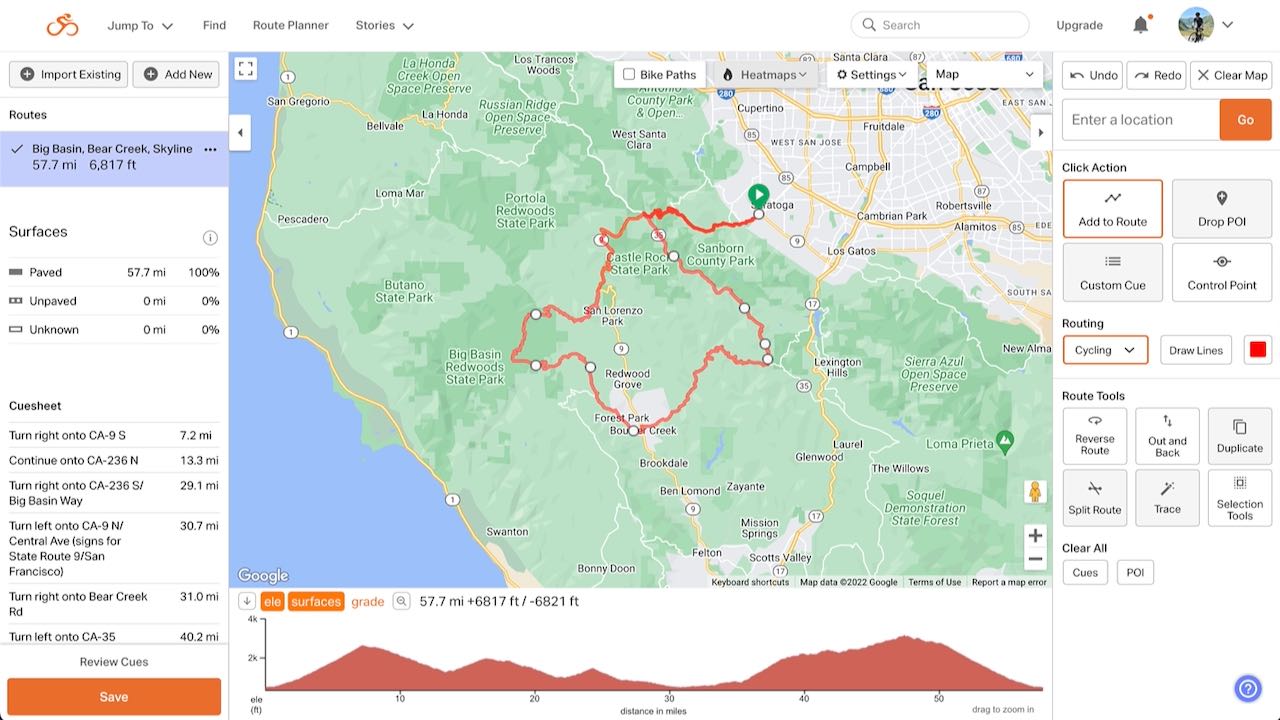
It’s basically duplicate work, so it can be a bit more time consuming, but this whole process does give me more confidence in the route I’ve chosen to ride. This is why sometimes I use Google Maps first in a cursory manner, narrowing in on details here in a separate step.
RWGPS actually gives you really good turn-by-turn directions and cue sheets (at least for now) without the need of a paid subscription, so it works very well with my Hammerhead Karoo.
With a paid subscription you get more, of course. One of the perks I would use allows you to denote stops and points of interests along your route as cue sheet items. However if someone else builds a route for you who happens to have a paid membership and puts these items in their route, when they share it with you, you’ll have them, too.
I actually rarely reference Komoot, but it seems to be considerably more popular over in Europe. It’s quite similar to Strava from what I’ve seen of it, as you tend to see routes that others have posted, along with their pictures and perceived difficulty of that particular route.
It’s definitely another data point you should reference if you’re looking for something over in Europe. Or perhaps if you’re simply looking for something a bit more obscure and can’t find much else on it.
I fully recognize that a lot of this will lend itself to the more OCD of us cyclists, but we are indeed a peculiar bunch to begin with. Given that I do thoroughly enjoy planning rides and discovering hidden gems and details in the world around me, I definitely felt that this post was a worthwhile one.
But overall:
Pretty soon you’ll be that guy at the bike shop telling the other people there where the cool rides are!
